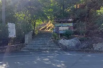
Sentiero dei Carbonai
Camerota, San Giovanni a Piro · about 25 min by car from Sapri
Sources and data quality
- Trail source
- CAI · OpenStreetMap
- Source updated
- Not available
- Data last checked
- Not available
- On-site verification
- Not documented
Checking source data does not confirm current trail access or conditions.
Report an errorThe walk
7.0 km out-and-back walk between Camerota and San Giovanni a Piro, up to Spiaggia del Marcellino, 495 m of total ascent: about 3 h of walking. Waymarked hiking trail. After the walk: wine tasting at Donna Clara (3.7 km) and lunch at Da Addolorata in Torre Orsaia (12.4 km).
Waymarked hiking trail (grade E): paths and dirt roads, good walking shoes are enough.
Estimated elevation profile
Elevation 9–466 m · ↑ 427 m · ↓ 70 m
Terrain estimate for separate track segments: order and direction do not necessarily describe the trip. Out-and-back sections are not doubled. Route statistics retain the source values.
Show segments (7)
Mapzen Terrain Tiles · EU-DEM / Copernicus / USGS · Produced using Copernicus data and information funded by the European Union - EU-DEM layers. GMTED2010 and SRTM terrain data courtesy of the U.S. Geological Survey. Global ETOPO1 terrain data: U.S. National Oceanic and Atmospheric Administration. Mapzen / Tilezen. Profiles sampled and derived by Hike & Fork. · 2026-11-05
A good day here
Estimated walking: 180 min · breaks: 0 min
Full day duration: 6 h 30 min · Estimated finish: 16:30
- Walking
- 3 h 00 min
- Breaks
- 0 h 00 min
- Transfers
- 1 h 00 min
- Waiting before lunch / visits
- 0 h 00 min
- Lunch
- 1 h 30 min
- Wine tasting
- 1 h 00 min
Estimated times. Check transfers along the actual route; the plan does not calculate traffic or public transport schedules.
Travel from home, station approaches, the journey home after the last stop and any festival are excluded.
- next dayStart walking
Meeting point · 40.01961, 15.44547
- next dayBack at the start
- next dayLunch at Da Addolorata
- next dayTasting at Donna Clara
Suggested times. Check driving time, opening hours and reservations before leaving.
Food festivals near the walk
The search uses your trip date. Leave it blank to search for today.
How to get there
By car
From Sapri: about 25 min (17 km as the crow flies). Parking access and availability must be checked for this trail.
By train and bus
Take a train to Sapri, then a regional bus or a taxi for the last stretch. Our link plans the whole trip with Google Maps public transport.
Start point
40.01961,15.44547
Starting coordinates from the track. Paste them into any map app.
Country buses run less often on Sundays and holidays, and some not at all: check the return journey before you set off.
Where to eat and drink
Independent winemaker
Donna Clara
CAMEROTA · 3.7 km from the trail in a straight line
Driving route and timeCheck opening hours
Opening hours unavailable.
Donna Clara · Data checked
Confirm holidays and seasonal changes with the venue.
Report an errorRecommended osteria
Da Addolorata
Torre Orsaia · 12.4 km from the trail in a straight line
Driving route and timeCheck opening hours
Verified contacts and hours: not available.
Report an errorRecommended osteria
Perbacco
Pisciotta · 19.1 km from the trail in a straight line
Driving route and timeCheck opening hours
Verified contacts and hours: not available.
Report an errorBook tastings ahead, and check opening days: many osterie close one day a week.
More walks near Sapri
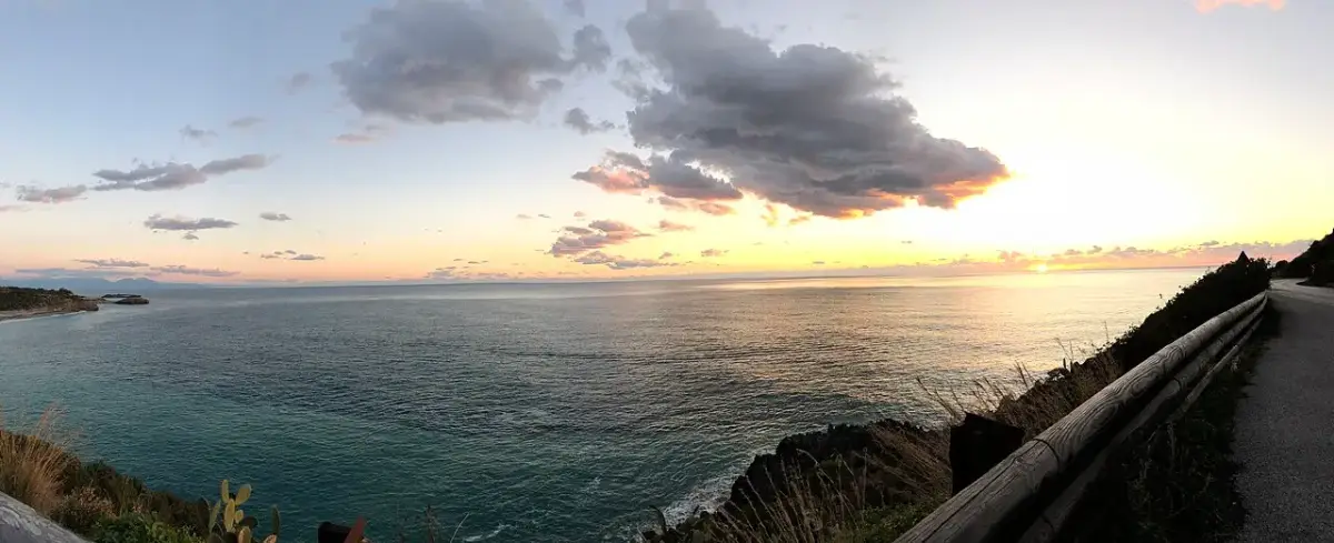
Campania · Cilento coast
Path of the Four Beaches
6.5 km2 h164 m upOut & back
Winery · 3.3 km in a straight lineOsteria · 16.0 km in a straight line
About 35 min by car from Sapri